In August, the day after my birthday, Soni and I drove to Colorado for the long weekend, up to the Aspen area for a few days, to do some hiking, relax, and see a friend living in nearby Carbondale.
The drive up was beautiful, on 285/24 through the Collegiate Peaks. We turned off on CO 82 and stopped in Twin Lakes for coffee. It was rainy and misty, and the lakes were beautiful. Twin Lakes is a small little town but seems to get a lot of folks passing through. I told Sonia I wanted to come back and camp or stay in the B & B. After Twin Lakes, we took Independence Pass through the mountains to Aspen. It was jaw-dropping, beautiful, and terrifying. I was glad Sonia was driving. And that it was daylight, even if it was raining.
We stayed in an Airbnb in Snowmass Village just outside of Aspen. When I was picturing it before we left, I had imagined the Taos Ski Village but a little bit bigger. Snowmass Village was actually much larger, with tons of condo buildings, restaurants and shopping. It ended up being pretty nice, we could walk to dinner in the evening instead of driving into Aspen.
It rained the next morning as well, but as soon as it started to let up, we headed down into Aspen for some lunch, and then to the famed Maroon Bells. The peaks called the Maroon Bells get their coloring because they are made up of a lot of mudstone, like the cliffs at Blomidon in Nova Scotia. This also makes them prone to rockslides, and extremely dangerous for climbing. They are beautiful and very photogenic. The Maroon Bells are hard to get to, as no cars are allowed up during the day, so you have to take a shuttle. They are so popular that in the 1980s park management banned cars because the pollution from all the exhaust was killing the wildflowers. Today, I’m told much of it has been restored. It was totally worth the wait to see this stunning protected area. We just had enough time to make it up to Crater Lake and back down with a few minutes before the last shuttle headed down the mountain. The Crater Lake trail is an out and back 3.8 mile trail that gets a lot of foot traffic. It’s a pretty trail, fairly easy, and short enough to do in a hurry. The lake was pretty low this time of year and there was little snow on the mountains. After a winter with a lot less snow than usual, water levels seem to be low in a lot of areas - in Maroon Bells, and as we saw later on in Nederland, and in many places here in New Mexico.
Maroon Bells
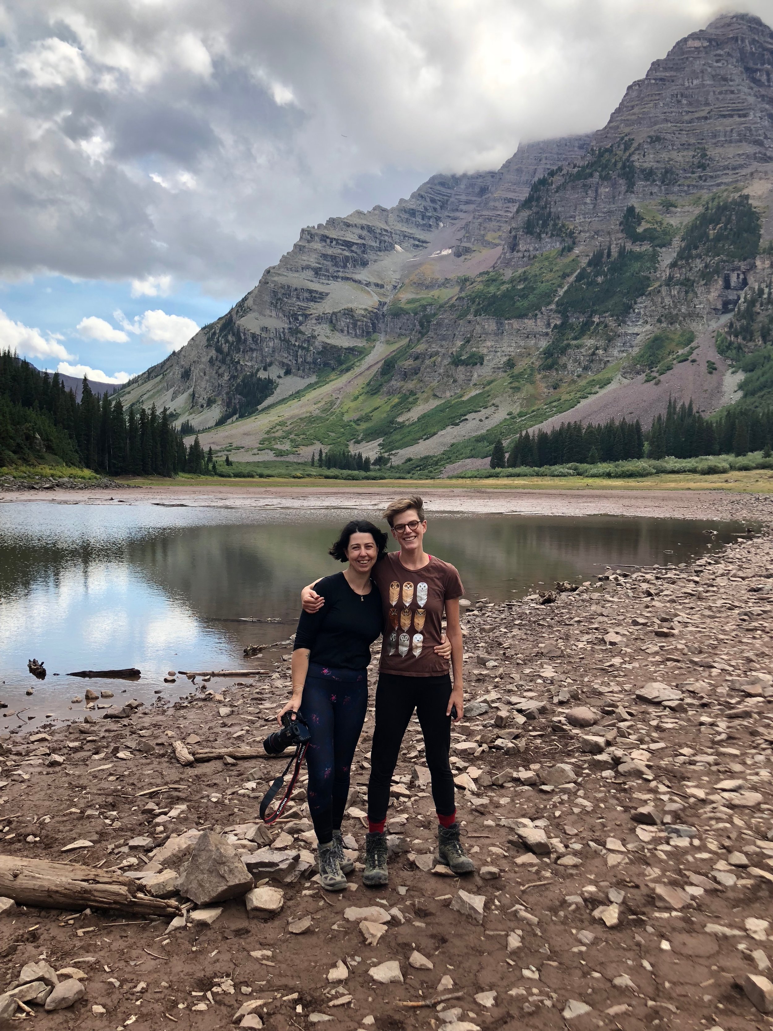
Very happy to be on vacation, at Crater Lake with Soni
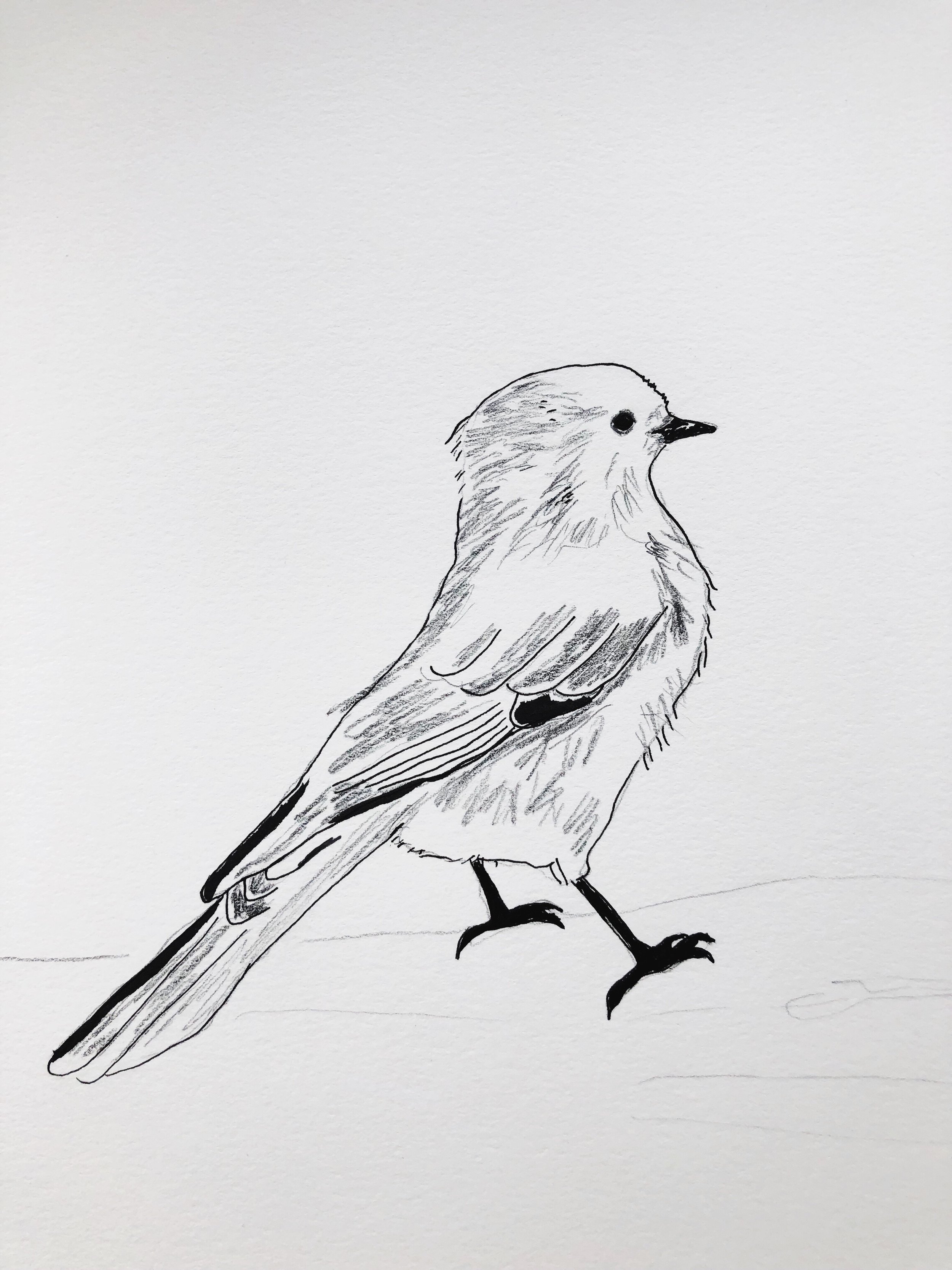
We saw a lot of Gray Jays on this trip. This one was hanging out by Crater Lake.
The Maroon Bells at Crater Lake
Crater Lake
This is the view of Maroon Bells that gets photographed the most! This shot was taken from the walking path just off of the main trailhead where the shuttle drops visitors off. I couldn’t not take one as well, it’s beautiful.
In the Aspens
Maroon Lake
The next day we decided to go on a longer more strenuous hike to Cathedral Lake. The trail is a 5.3 out and back trail up to the lake, and it’s rated difficult. It was a beautiful trail, and a beautiful day for the hike. The hardest part was towards the end, almost to the lake, when the trail gets very steep. There were a lot of people on the trail that day, and you have to go pretty slow at this point, so it also ends up being a bit of a bottleneck. But once you’re up, the rest of the hike is relatively flat out to the lake. The peak next to the lake really does look like a cathedral, and I’m a sucker for an alpine lake, so we were very pleased. Being late August, most of the wildflowers were gone, but there were still a few here and there along the trailside, adding color to the greens and darks of the mountains.
After the hike, we drove to Carbondale to meet up with a friend of mine from Maine, Allegra, who has been working on trails all summer in the White River National Forest. She was still on her way down the mountain to meet us but recommended some river hot springs for us to visit in the meantime. Penny Hot Springs is a cluster of small pools on the Crystal river just outside of town. They can get pretty crowded. We found a good hot spot to sit and soak in the pools for a bit, and then headed into to Carbondale to meet her. We had dinner at a fun diner and got to hear about her summer of trail work (she loved it!). She’s been doing work on trails all over the forest, some in the Maroon Bells, and elsewhere. And if you want to see what the Maroon Bells look like now that they are covered in snow - there are some good photos on Allegra’s instagram.
Cathedral Lake
wildflowers on the Cathedral Lake trail
The general plan for our trip was to stay in Aspen/Snowmass for three nights, hanging out and doing some shorter hikes during the day. Then we would drive to Mt. Elbert, near Leadville, and camp near the trailhead so that we’d be ready to try our very first 14er (14,000 feet high mountain). The weather decided not to cooperate with us, and we had to move our hike up a day. So, on Monday morning, we got up at 4am, packed up our car and drove to the trailhead. Thankfully, again, Sonia did the driving. Because heading out so early meant that we were on the windy Independence Pass in the dark, spooking some of the deer that were out in the early morning.
Sunrise at Twin Lakes, on the way to Mt. Elbert
We got to the trailhead around 6:30am. It was so damn cold as we packed up our gear for the hike. The North Mt. Elbert trailhead is at about 10,000 feet, so it’s higher up and colder than where we’d been staying in Snowmass, at about 8,000 feet. While it felt a bit was a bit crazy to get up at 4am and drive for two hours before hiking for 8+, we would have been really cold camping out near the trailhead.
We were still cold when we started on the trail by 7am, but there’s a good incline fairly early on so we soon warmed up a bit and were able to take off our warmest layers. It’s a pretty trail, mostly wooded until we got up to tree line. Once we got to tree line, it became significantly harder. Soni had read up on the trail guide ahead of time and knew that there were three “false peaks” which really came in handy. False peaks are when you think you can see the top, but the top is actually beyond it. It was actually nice to know that, but I still found myself pretending that I was almost there with each one. We took a lot of breaks, had a lot of snacks. The trail is steep, and the elevation gain really started to get to me above tree line, so I just always wanted a break to catch my breath until we got to the top.
On the way up Mt. Elbert
The weather was really clear, sunny, and very hazy. With no chance of thunderstorms, we could take our time getting up to the top and back down again to tree line. The next day (our original Mt. Elbert day) called for thunderstorms all day.
I’m not sure where it was along the trail, it was close to the top, but don’t know how far or what the elevation was, but I hit a pretty big breaking point and almost lost it. The trail started to get really eroded, with softer dirt, and rocks sliding everywhere. It was very much a scramble, and a steep one. It also gets windier as you get higher, and I felt really unbalanced. I pretty much felt like I was going to fall off the mountain. I went really slowly and took a lot of breaks, but still had a hard time catching my breath. In part from the elevation, part from the anxiety (can I really do this?), it was hard to breathe, and I finally took Soni’s offer of the can of oxygen we’d brought along. We made it past that section, and up to an equally steep very lichen covered rocky section, and I had a similar panic. I had to stop for a bit longer here. This portion of the trail was still tricky, but the rocks were bigger here and felt like they weren’t going anywhere, so I found myself a seat, gripped the rocks and closed my eyes. After a while, my breathing returned to normal, and I finally began to relax.
After a break, we continued up the rest of the way. It was still hard, but the panic didn’t come back. At this point, as we passed folks on their way back down, they were sincere when they said, “almost there!”. Also, we passed a few older hikers, one who said he’d had five knee surgeries, who all said variations of “if we can do it you can do it”. Which sounds cheesy, but at that point I really appreciated it.
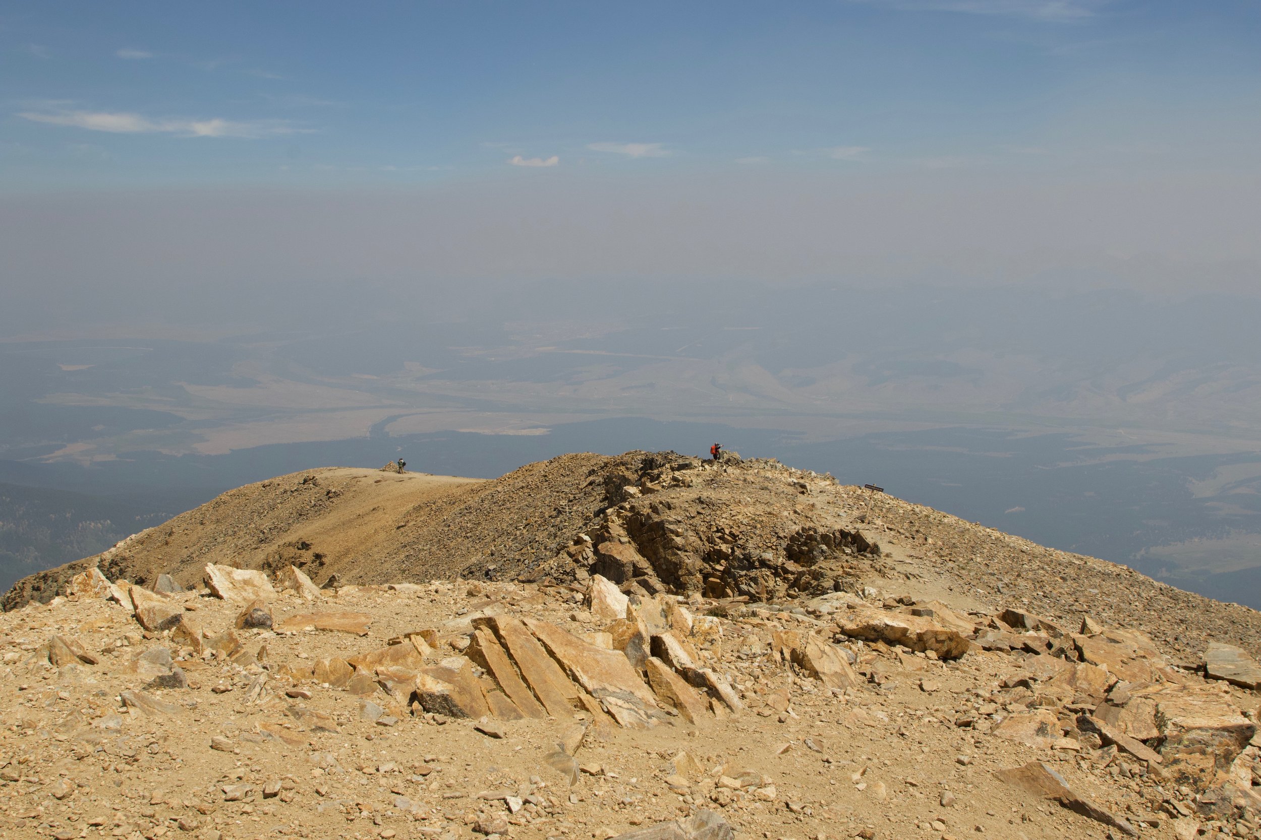
the hazy view from the top of Mt. Elbert
We made it to the top, finally! There was actually a fair amount of wind cover if you stayed on one side of the top, so it was quite comfortable to be up there for a rest before heading back down. There are also a few shelters that I’m sure come in handy on rough weather days. There were lots of folks at the top. Many who we’d been on the trail with at some point. A few runners, and a pair of mountain bikers with their bikes who took our photo with our camp stove and picnic lunch. To be honest, having had such a hard time walking up the mountain, I was completely flabbergasted by the runners and bikers. But maybe once you’ve done more of this kind of thing it’s less daunting. I also heard someone say that some folks once drove a jeep up to the top.
Soni’s best hiking trick is to bring the camp stove up and heat up some veggie chili for lunch, it’s better on top of a mountain.
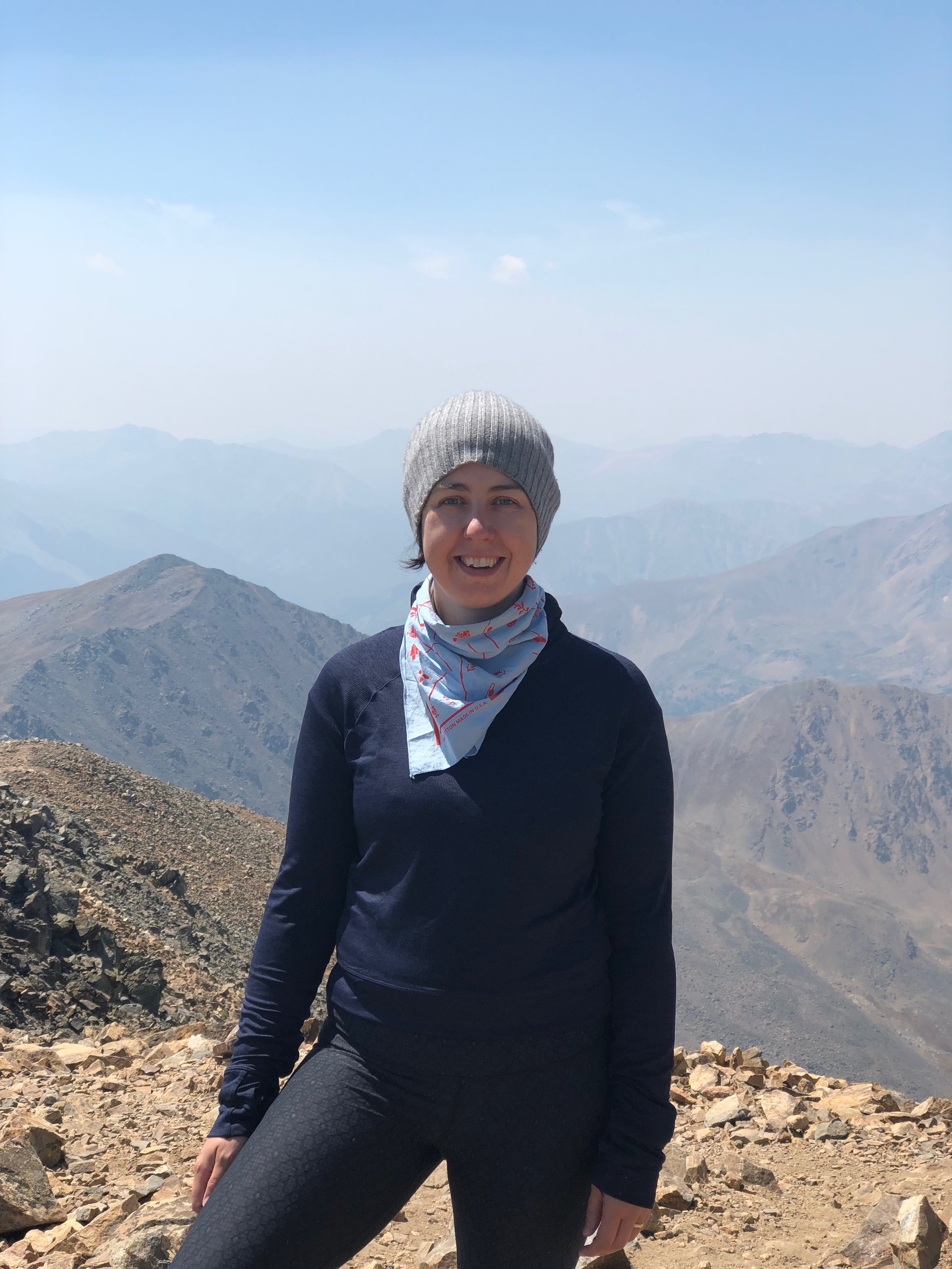
very tired, but happy to be at the top!
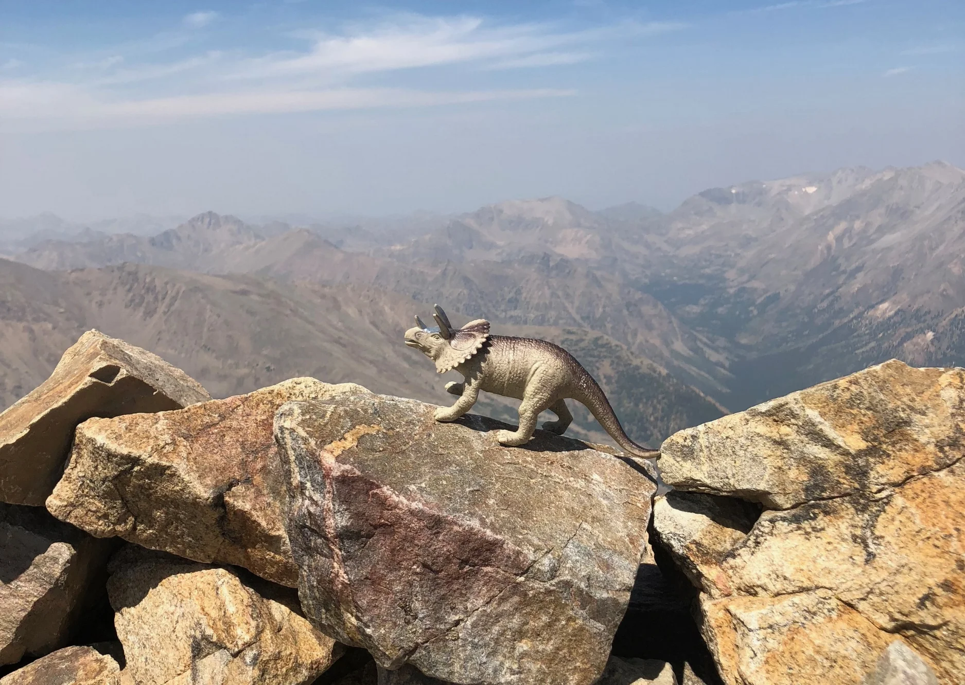
This fella also made it up there, but not sure when…
At the top, you could see pretty far out, but everything was dimmed by the haze. Some other hikers said that it was all the smoke from the nearby fires that was causing the haze, and that there was a smoke warning in the area. This, of all things, made me feel better. Not because there was a fire, but because the added smoke in the air makes it harder to breathe at high altitudes and this made me feel like less of a wimp for struggling so much. No plans for another one, but it perhaps it won’t be as hard?
Last of the wildflowers on the mountain
The Cottonwood Hot Springs are in Buena Vista, about an hour and a half drive from the trailhead. After we made it down, we headed straight there. We pitched the tent next to the river and headed straight for the first pool. It was getting late, so we just did a quick dip, and then went into town for dinner. When we got back to the springs, we went back in for another soak, and then straight to bed. I have never slept so well in a tent in my entire life. The combination of exhaustion and the sound of the river, I slept ten hours straight no problem. We spent the morning in the hot springs and then headed back to Santa Fe. Surprisingly, neither of us were sore from the hike. The hot springs did their magic.
The rock pools at Cottonwood Hot Springs. This one was the hottest!
My dad sent me flowers for my birthday the day before we left, so I decided to bring them on the road trip with us. Here they are, dressing up our campsite at Cottonwood Hot Springs.


