In July, before the forests in Santa Fe opened back up, Soni and I headed to Colorado for some mountain time.
We drove up the night before and stayed at a motel in Durango. On the way, just past Abiqui, New Mexico, we saw smoke in the distance. With fire season well under way in New Mexico and Colorado, and the summer rains only just begun, the fire danger was pretty high. Neither of us had any cell service to call it in, so we kept driving, paying attention to the mile markers as we passed. We rounded a big curve and were suddenly upon the fire, and a line of cars. It appeared to be a brush fire just at the edge of the road, possibly started by a cigarette tossed out a car window. A fire truck and police car were already there, with more coming up behind us. The fire crews worked quickly and put the fire out while we waited to pass. Forty-five minutes later, we had the go ahead and made our way slowly past the fire remnants. A burned-out van was on the side of the road, most likely abandoned, and there were scorch marks left on the pavement.
The rest of the drive was uneventful, and we stayed the night in Durango, Colorado and got up early to drive to the trailhead, near Silverton. On the way, we passed some of the burn scars from the 416 fire that had been raging around Durango for the previous month. There were signs along the way warning of the dangers of subsequent mudslides. The road between Durango and Silverton is a narrow windy mountain road and I’m thankful Sonia is always up for the driving on these because they terrify me. (Also, we found out later on, that not long after we headed back to Santa Fe, and passed back through Durango, part of road washed out in the rain storm.)
Coming up on Silverton, the mist was still hanging out in the valley, slowly burning off as the sun rose. The mist and the mountains made me think of the mountain cloud formation that features heavily in the Clouds of Sils Maria
From Silverton, we turned onto a dirt road and drove for a ways before arriving at the campground and parking lot by the trailhead for Ice Lake. This hike is rated strenuous so I was a little intimidated, but excited for the challenge. It’s one of Sonia’s favorite hikes. Last summer she sent me a photo of her picnicking at the lake, and I’d been like “what is this amazing place and when can we go?”.
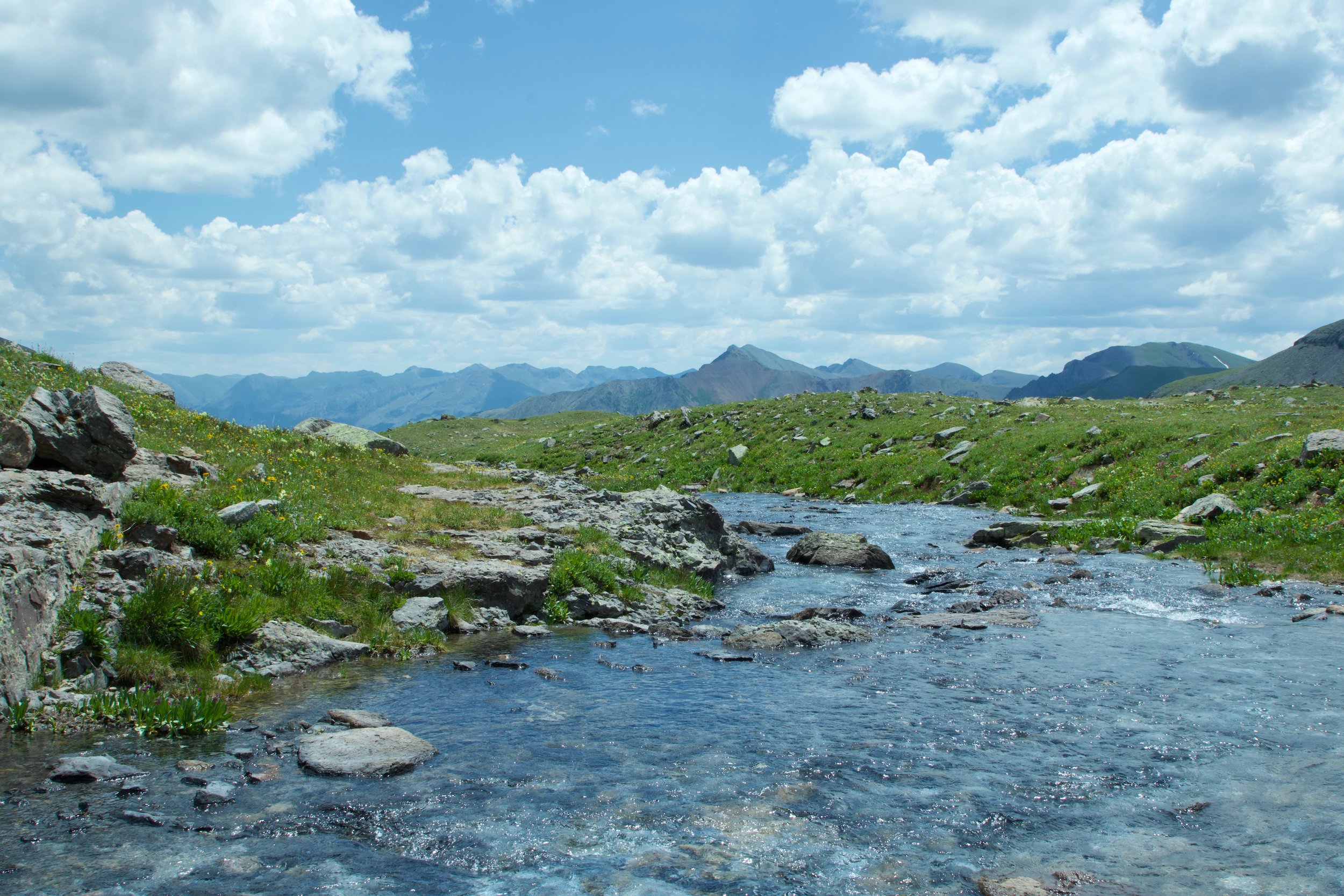
The first part of the trail is forested and goes along a stream. The trail guide online recommended crossing it as early as possible. There’s a trail on both sides for a while, but the further up crossings are more difficult (as we saw later on). The wildflowers were very abundant next to the water. Much more so than we’d seen in New Mexico with the lack of rain. We found that the bugs were also more abundant in Colorado, and we had to bum some bug spray from fellow hikers.
The trail climbs steadily, with a number of switchbacks. Eventually it opens up into a high valley, full of wildflowers and a small lake. A lot of folks camp out here overnight, and make the final ascent the next day. We saw a number of tents nestled in among the trees. We walked through a ridiculously beautiful alpine meadow full of tall wildflowers and made it to the edge, crossing over a stream and began the final ascent. The last part of the trail is the hardest. There’s a little bit of rock scramble, but mostly it’s just a steep trail at the end. Lots of folks were going up and down, and I was so out of breath that I didn’t mind stopping every other minute to let someone pass us.
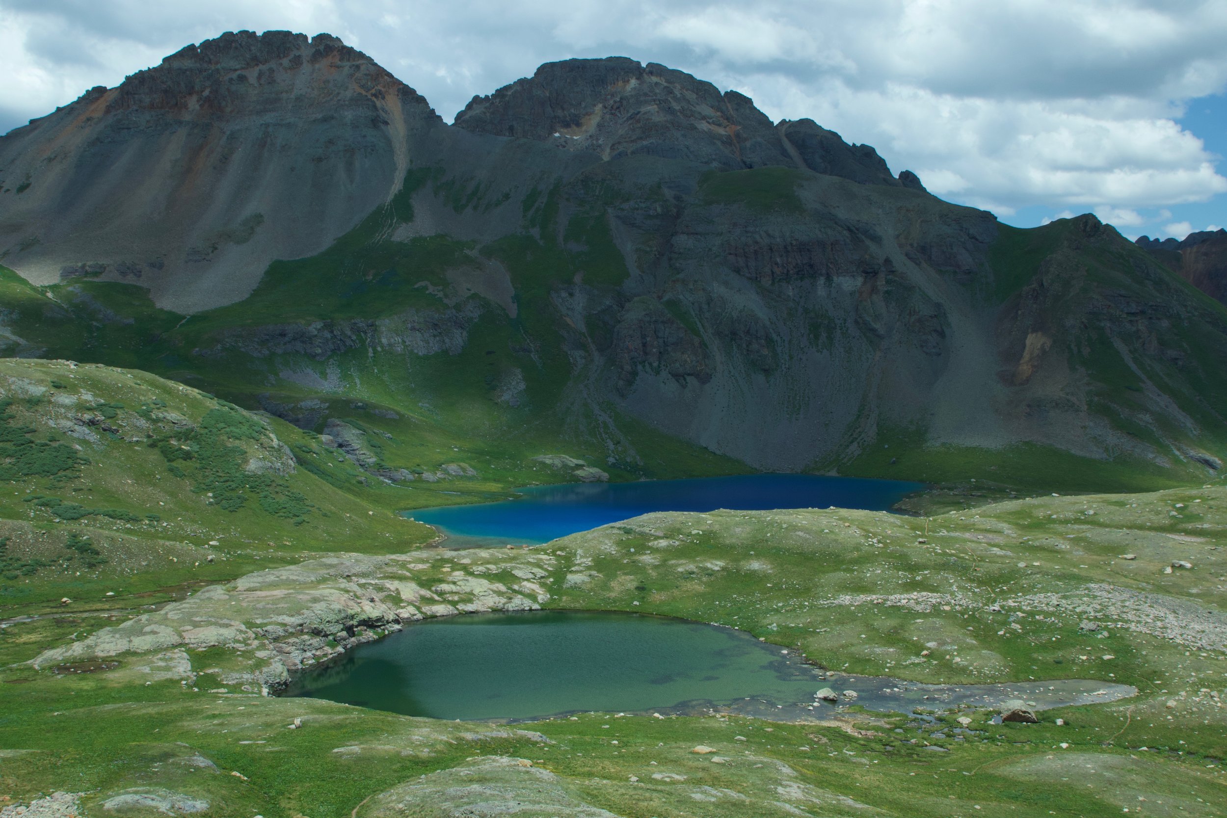
Ice Lake is one of those crazily colored deep blue alpine lakes. I can try to describe it, but I took so many photos that I’ll let them do the telling. Ice Lake is truly a beautiful spot. Surrounded by snowy peaks, waterfalls, and a river heading down the valley, the setting was perfect. Exactly as Soni had described. We picnicked at the water’s edge and watched a few brave folks jump in. It was pretty chilly so we weren’t even tempted to join them.
A fellow hiker told us that there are about 11 lakes in the area. Ice Lake is the main attraction, with a smaller lake right next to it, and a few other smaller ones up towards and past the waterfall. In the opposite direction is another lake (and more?).
Later on, back in Santa Fe, I looked up “why is ice lake so blue” and found a couple of pieces explaining why a lot of alpine lake were so blue. It has nothing to do with the altitude, but rather what is in the water. Which makes more sense given that the surrounding lakes have nothing on the turquoise waters of Ice Lake. A lot of the water in the lake comes from melted glaciers, and with the melted glaciers comes glacial flour or rock flour. The glaciers rub against rocks and create a fine powder that gets distributed into the lake water as they melt. The particles are really light so they don’t sink to the bottom, instead floating in the middle and near the top of the water. When the light hits the lake, it’s distorted by the particles and we see turquoise.
The one downside to the beauty of Ice Lake is that it’s so popular and photogenic that there were also 3-4 drones circling the lake most of the time we were there. As a photographer, I can understand why anyone would want aerial footage of the lakes if they can get it – they’re jaw-droppingly gorgeous. But the drones sound like enormous insects/mini planes swarming and they end up being incredibly stressful and unpleasant to be around.
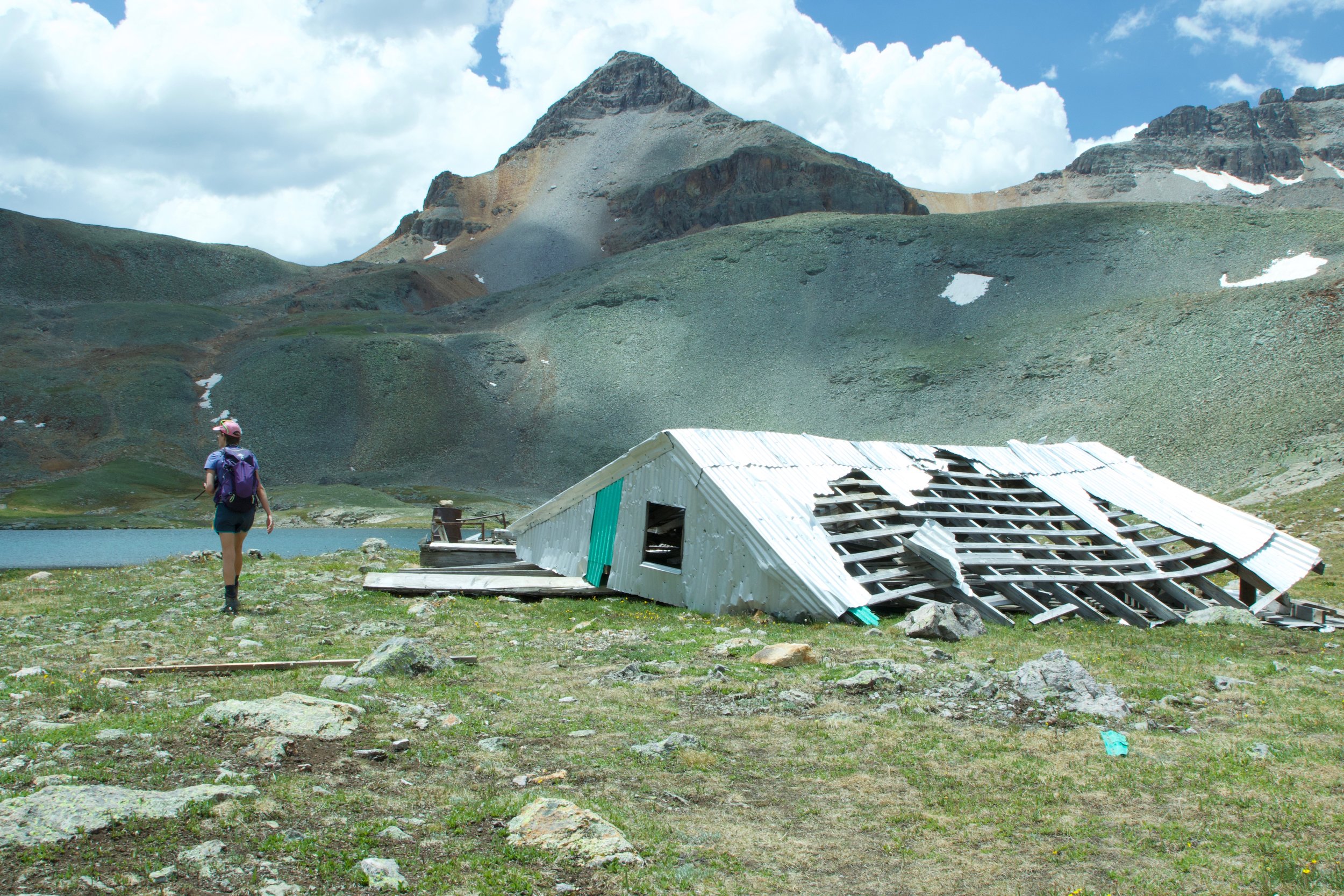
The clouds were rolling in and we wanted to escape the drones, so we headed up the trail just a bit further to investigate the other lakes and waterfall. There were two small lakes near the waterfall, each fairly shallow and offering a lot of contrast to the deep blue of Ice Lake. We kept climbing until we reached a larger lake, with the remains of a structure in pieces next to it. Some of the roofing had blown away and was sitting at the bottom of the smaller nearby lake. I couldn’t imagine trying to build a hut at 11,000 feet, especially given the state it was in now. The clouds really started to build up, and it was after noon, so we decided it was time to head back down.
I was really slow making it back to Ice Lake because I wanted to keep photographing all of the flowers. I found a tiny wildflower bouquet that someone had picked and then abandoned lying in the middle of the trail. I stopped again to photograph it, to give it a little more life before putting it back alongside the trail for someone else to find.
Going down is always easier, though the steepest part was still a challenge. I love how the view changes, I feel like I always see more when we are going down. With the toughest climb behind me, it’s easier to appreciate the views!
On the way down, we passed a number of groups that had big packs and looked like they were planning to camp just before the top. Also, several kids accompanied their groups with their own kid-sized packs. We wished them luck getting up there before the rain came.
We made good time getting down but didn’t manage to beat the rain. We pulled our raincoats on with the first few drops and picked up the pace. We could tell that we were getting close, and it really started to pour and then hail so we took off running. Sonia’s sunglasses were on her head so to keep them from flying away, I put them in my raincoat pocket and then forgot all about them for weeks. We thought that her brand-new multi-colored sunglasses that fit perfectly over her everyday glasses were gone until we got caught in another rainstorm and I re-discovered them in my pocket.
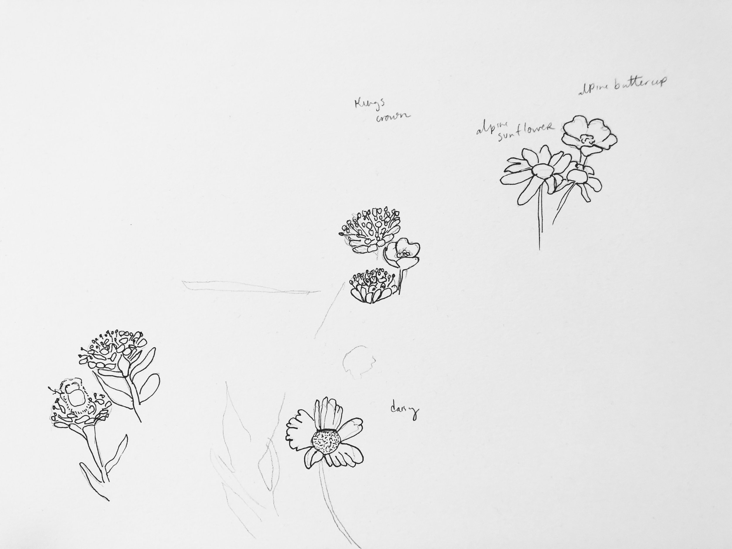
I’ve started making a drawing after each of our big hikes or trips, and here is the sketch from Ice Lake - wildflowers of course!


